
du 18/05/2026 au 22/05/2026
Du 18 au 22 mai 2026
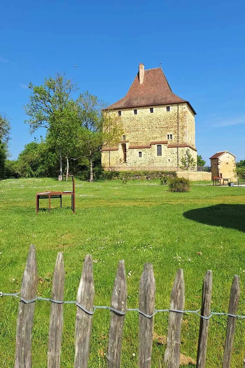
18 Mai 2026
VTT 18.05.2026
Map of the route “Séjour Sancerre”: 36,23 km, 596 m of climbing and 595 m of descent, elevation between 147 m and 361 m, time 01:54:40. It is a loop that starts and ends at 47.34228, 2.86619 (latitude, longitude).
Distance : 36 km — Dénivelé : 668 m
RANDO 18.05.2026
Map of the route “Séjour Sancerre”: 10,86 km, 179 m of climbing and 178 m of descent, elevation between 147 m and 303 m. It is a loop that starts and ends at 47.34226, 2.86593 (latitude, longitude).
Distance : 11 km — Dénivelé : 225 m
19 mai 2026
VTT 19.05.26 Matin
Map of the route “Séjour Sancerre”: 29,14 km, 562 m of climbing and 560 m of descent, elevation between 144 m and 308 m. It is a loop that starts and ends at 47.34210, 2.86559 (latitude, longitude).
Distance : 29 km — Dénivelé: 653 m
VTT 19.05.26 Après-midi
Map of the route “Séjour Sancerre”: 34,46 km, 692 m of climbing and 693 m of descent, elevation between 144 m and 321 m. It is a loop that starts and ends at 47.34231, 2.86601 (latitude, longitude).
Distance : 34 km — Dénivelé: 784 m
RANDO 19.05.26 Matin
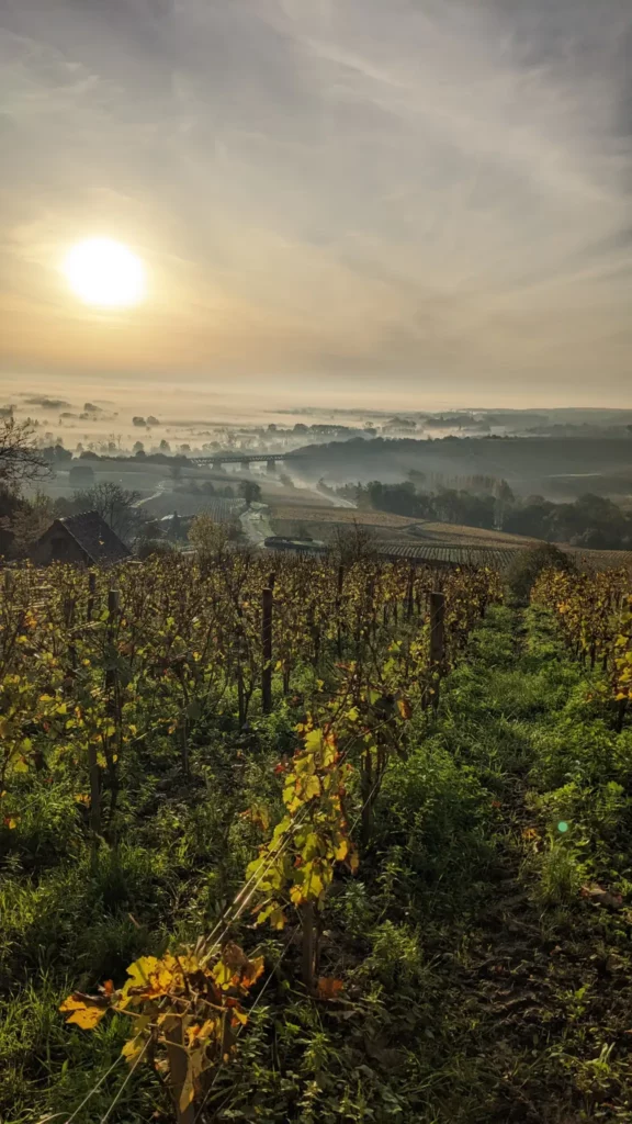
Map of the route “Séjour Sancerre”: 11,63 km, 141 m of climbing and 137 m of descent, elevation between 144 m and 250 m. It is a loop that starts and ends at 47.34253, 2.86641 (latitude, longitude).
Distance : 12 km — Dénivelé: 170 m
RANDO 19.05.26 Après-midi
Map of the route “Séjour Sancerre”: 8,90 km, 148 m of climbing and 151 m of descent, elevation between 145 m and 267 m. It is a loop that starts and ends at 47.34247, 2.86623 (latitude, longitude).
Distance : 9. km — Dénivelé: 203 m
20 mai 2026
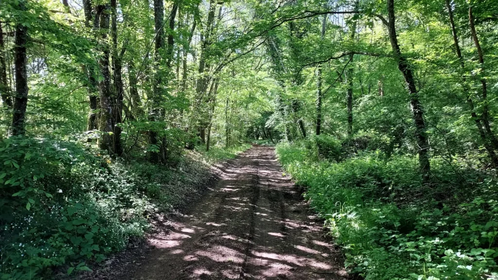
VTT 20.05.26 Rapidos
Map of the route “Séjour Sancerre”: 73,29 km, 1 078 m of climbing and 1 081 m of descent, elevation between 145 m and 331 m. It is a loop that starts and ends at 47.34226, 2.86592 (latitude, longitude).
Distance : 74 km — Dénivelé : 1308 m
VTT 20.05.26Peinardos
Map of the route “Séjour Sancerre”: 62,30 km, 941 m of climbing and 944 m of descent, elevation between 145 m and 331 m. It is a loop that starts and ends at 47.34226, 2.86592 (latitude, longitude).
Distance : 63 km — Dénivelé : 1133 m
RANDO 20.05.265 Matin
Map of the route “Séjour Sancerre”: 12,23 km, 121 m of climbing and 118 m of descent, elevation between 197 m and 264 m. It is a loop that starts and ends at 47.44167, 2.80834 (latitude, longitude).
Distance 12 km — Dénivelé : 178 m
RANDO 20.05.26 Après-midi
Map of the route “Séjour Sancerre”: 11,44 km, 265 m of climbing and 261 m of descent, elevation between 219 m and 309 m. It is a loop that starts and ends at 47.34936, 2.81443 (latitude, longitude).
Distance 11 km — dénivelé : 316 m
21 Mai 2026
VTT 21.05.26 Matin
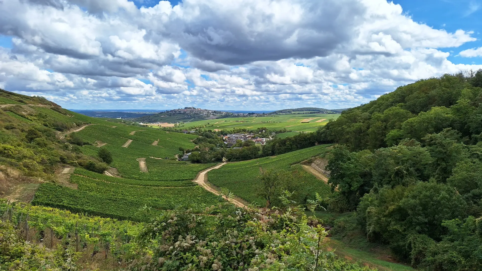
Map of the route “Séjour Sancerre”: 76,43 km, 1 702 m of climbing and 1 712 m of descent, elevation between 147 m and 369 m, time 04:52:30. It is a loop that starts and ends at 47.34503, 2.84093 (latitude, longitude).
Distance : 34 km — Dénivelé : 821 m
VTT 21.05.26 Après-midi
Map of the route “Séjour Sancerre”: 33,00 km, 228 m of climbing and 227 m of descent, elevation between 144 m and 238 m. It is a loop that starts and ends at 47.34225, 2.86614 (latitude, longitude).
Distance : 33 km — Dénivelé : 330 m
RANDO 21.05.26 Matin
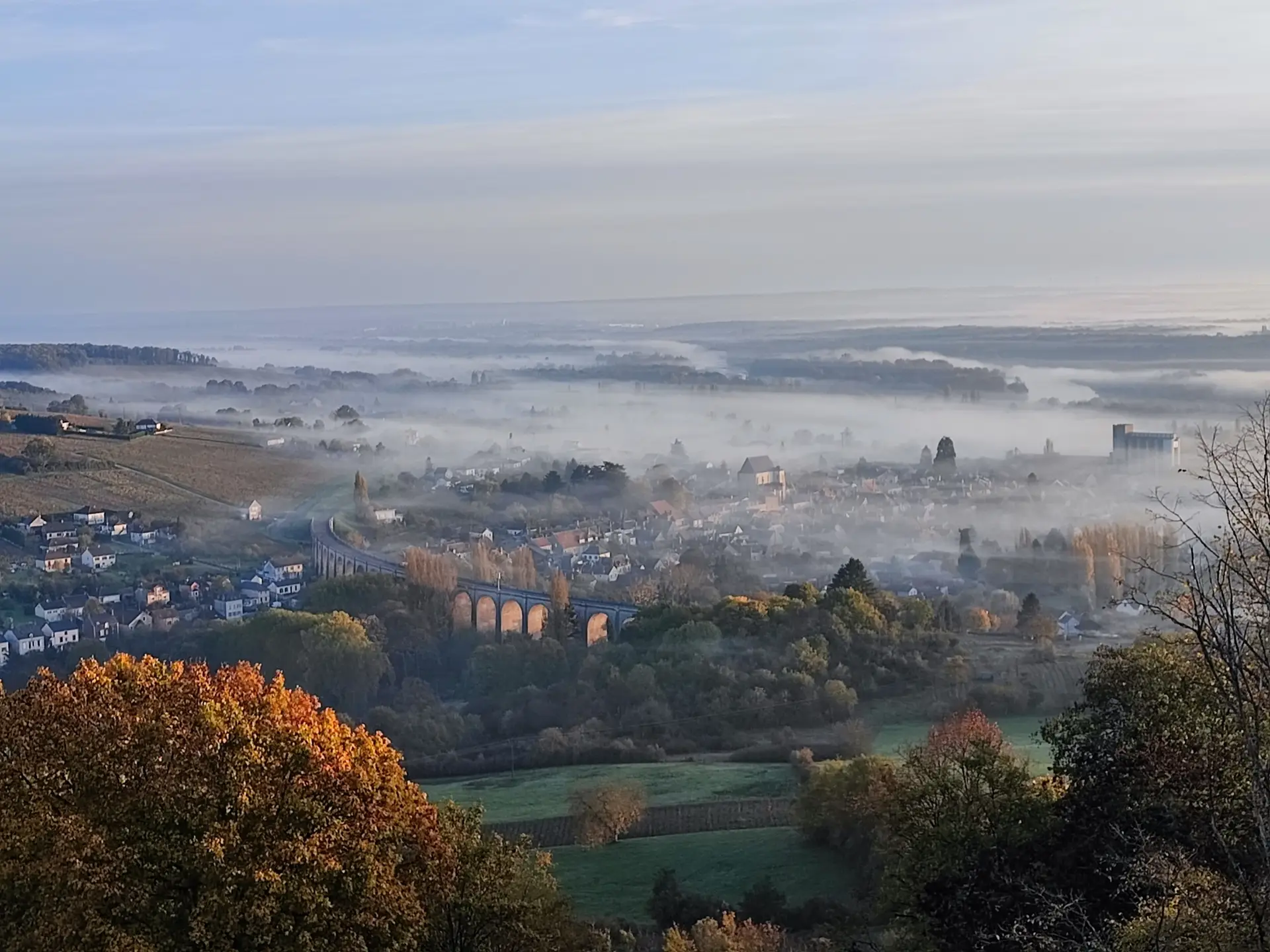
Map of the route “Séjour Sancerre”: 11,38 km, 318 m of climbing and 317 m of descent, elevation between 158 m and 321 m. It is a loop that starts and ends at 47.31773, 2.85535 (latitude, longitude).
Distance : 11 km — Dénivelé : 367 m
RANDO 21.05.26 Après-midi
Map of the route “Séjour Sancerre”: 10,90 km, 280 m of climbing and 283 m of descent, elevation between 189 m and 295 m. It is a loop that starts and ends at 47.32975, 2.83931 (latitude, longitude).
22 Mai 2026
VTT 22 Mai 2026
Map of the route “Séjour Sancerre”: 35,15 km, 557 m of climbing and 553 m of descent, elevation between 147 m and 348 m, time 00:27:02. It is a loop that starts and ends at 47.34109, 2.86640 (latitude, longitude).
Distance : 35 km — Dénivelé : 503 m
RANDO 22 Mai 2026
Map of the route “Séjour Sancerre”: 14,74 km, 222 m of climbing and 224 m of descent, elevation between 150 m and 247 m. It is a loop that starts and ends at 47.31947, 2.90835 (latitude, longitude).
Distance : 14 km — Dénivelé : 283 m
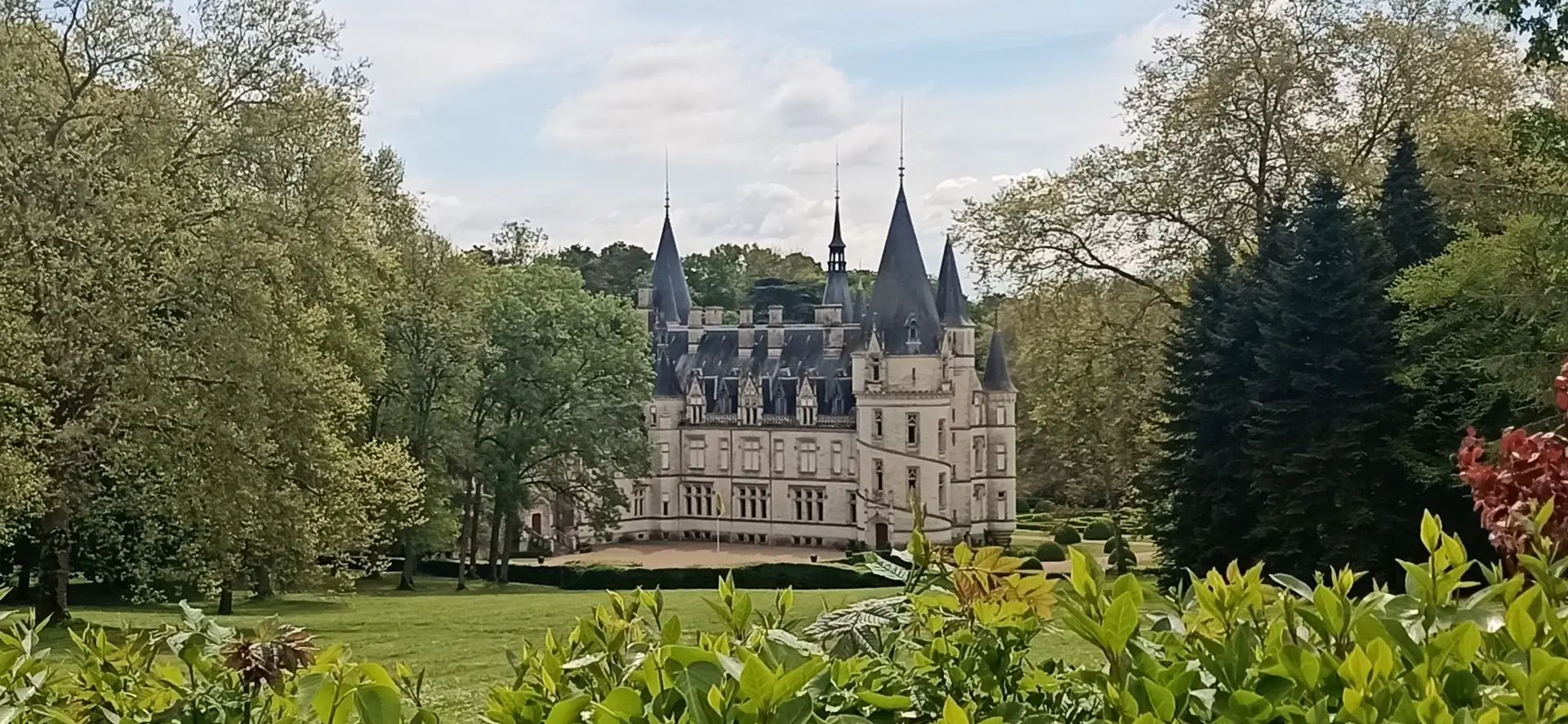
GRAVEL
GRAVEL les Collines de Sancerre
Map of the route “Séjour Sancerre”: 59,68 km, 913 m of climbing and 912 m of descent, elevation between 147 m and 359 m, time 02:29:24. It is a loop that starts and ends at 47.34226, 2.86593 (latitude, longitude).
GRAVEL Aller faire la Charité pour Sancerre
Map of the route “Séjour Sancerre”: 58,66 km, 272 m of climbing and 271 m of descent, elevation between 144 m and 287 m. It is a loop that starts and ends at 47.34215, 2.86627 (latitude, longitude).
CYCLO
CYCLO On dé Cosne à Sancerre
Map of the route “Séjour Sancerre”: 57,42 km, 636 m of climbing and 634 m of descent, elevation between 136 m and 336 m, time 02:31:26. It is a loop that starts and ends at 47.34227, 2.86618 (latitude, longitude).
CYCLO Boire Un Pouilly ou un Sancerre
Map of the route “Séjour Sancerre”: 68,89 km, 685 m of climbing and 685 m of descent, elevation between 144 m and 365 m. It is a loop that starts and ends at 47.34215, 2.86627 (latitude, longitude).