
Du 19 au 23 mai 2025
19 Mai 2025
VTT 19.05.2025
Map of the route “Séjour Huelgoat 2025”: 33,52 km, 499 m of climbing and 500 m of descent, elevation between 85 m and 230 m, time 02:18:18. It is a loop that starts and ends at 48.36358, -3.71626 (latitude, longitude).
Distance : 33.5 km — Dénivelé : 494 m
RANDO 19.05.2025
Map of the route “Séjour Huelgoat 2025”: 11,87 km, 192 m of climbing and 167 m of descent, elevation between 144 m and 231 m, time 03:16:31. It starts at 48.36614, -3.73289 and ends at 48.36473, -3.74678 (latitude, longitude).
Distance : 11.9 km — Dénivelé : 190 m
20 mai 2025
VTT 20.05.25 Matin
Map of the route “Séjour Huelgoat 2025”: 32,05 km, 558 m of climbing and 569 m of descent, elevation between 140 m and 277 m, time 02:12:09. It starts at 48.36360, -3.71619 and ends at 48.36334, -3.74978 (latitude, longitude).
Distance : 32.2 km — Dénivelé: 517 m
VTT 20.05.25 Après-midi
Map of the route “Séjour Huelgoat 2025”: 30,22 km, 496 m of climbing and 568 m of descent, elevation between 94 m and 220 m, time 02:14:04. It starts at 48.36512, -3.74615 and ends at 48.36434, -3.71687 (latitude, longitude).
Distance : 30.3 km — Dénivelé: 490 m
RANDO 20.05.25 Matin
Map of the route “Séjour Huelgoat 2025”: 12,19 km, 244 m of climbing and 218 m of descent, elevation between 97 m and 220 m, time 03:26:01. It starts at 48.36578, -3.73443 and ends at 48.36474, -3.74678 (latitude, longitude).
Distance : 12.4 km — Dénivelé: 270 m
RANDO 20.05.25 Après-midi
Map of the route “Séjour Huelgoat 2025”: 9,81 km, 167 m of climbing and 223 m of descent, elevation between 98 m and 179 m, time 02:46:27. It starts at 48.36416, -3.74441 and ends at 48.36409, -3.72029 (latitude, longitude).
Distance : 10. km — Dénivelé: 190 m
21 mai 2025
VTT 21.05.25 Rapidos
Map of the route “Séjour Huelgoat 2025”: 65,01 km, 941 m of climbing and 936 m of descent, elevation between 94 m and 349 m, time 04:17:29. It is a loop that starts and ends at 48.36346, -3.71861 (latitude, longitude).
Distance : 65 km — Dénivelé : 1030 m
VTT 21.05.25 Peinardos
Map of the route “Séjour Huelgoat 2025”: 57,01 km, 735 m of climbing and 725 m of descent, elevation between 96 m and 362 m, time 03:47:39. It is a loop that starts and ends at 48.36636, -3.73482 (latitude, longitude).
Distance : 57 km — Dénivelé : 820 m
RANDO 21.05.25 Matin
Map of the route “Séjour Huelgoat 2025”: 10,90 km, 69 m of climbing and 68 m of descent, elevation between 218 m and 258 m, time 03:25:22. It is a loop that starts and ends at 48.36816, -3.86233 (latitude, longitude).
Distance 11 km — Dénivelé : 80 m
RANDO 21.05.25 Après-midi
Map of the route “Séjour Huelgoat 2025”: 12,35 km, 197 m of climbing and 183 m of descent, elevation between 268 m and 374 m, time 04:05:47. It is a loop that starts and ends at 48.40380, -3.91005 (latitude, longitude).
Distance 12.4 km — dénivelé : 220 m
22 Mai 2025
VTT 22.05.25
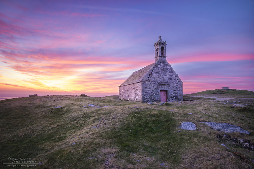
Map of the route “Séjour Huelgoat 2025”: 65,49 km, 1 058 m of climbing and 1 058 m of descent, elevation between 96 m and 375 m, time 04:27:16. It is a loop that starts and ends at 48.36358, -3.71626 (latitude, longitude).
Distance : 65 km — Dénivelé : 1 051m
RANDO 22.05.25 Matin
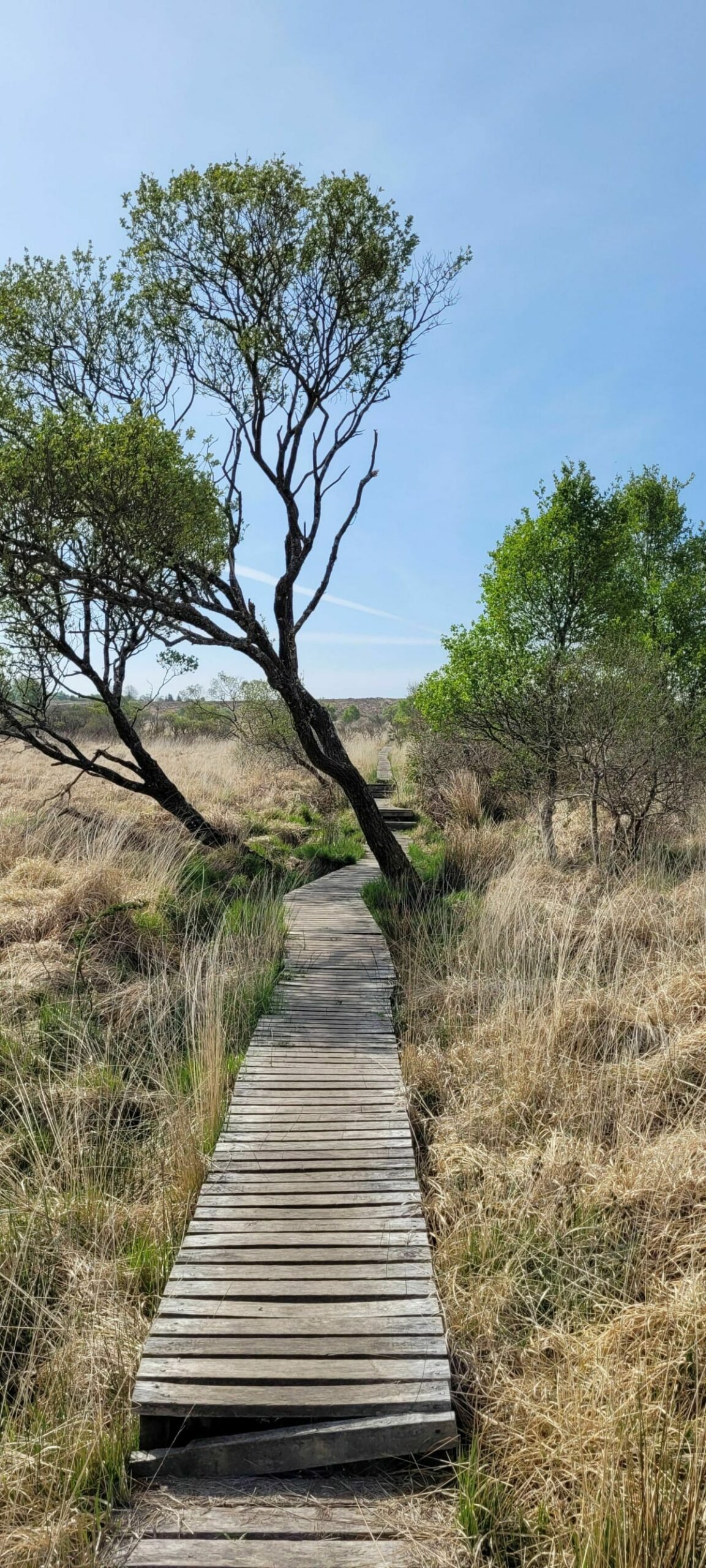
Map of the route “Séjour Huelgoat 2025”: 10,72 km, 188 m of climbing and 183 m of descent, elevation between 174 m and 351 m, time 02:56:16. It is a loop that starts and ends at 48.34909, -3.99649 (latitude, longitude).
Distance : 10.7 km — Dénivelé : 200 m
RANDO 22.05.25 Après-midi
Map of the route “Séjour Huelgoat 2025”: 13,08 km, 203 m of climbing and 214 m of descent, elevation between 226 m and 375 m, time 03:36:44. It is a loop that starts and ends at 48.34743, -3.94071 (latitude, longitude).
23 Mai 2025
VTT 23 Mai 2025
Map of the route “Séjour Huelgoat 2025”: 31,22 km, 453 m of climbing and 452 m of descent, elevation between 97 m and 252 m, time 02:07:02. It is a loop that starts and ends at 48.36358, -3.71626 (latitude, longitude).
Distance : 31 km — Dénivelé : 510 m
RANDO 23 Mai 2025
Map of the route “Séjour Huelgoat 2025”: 12,46 km, 182 m of climbing and 189 m of descent, elevation between 96 m and 219 m, time 03:26:44. It is a loop that starts and ends at 48.36389, -3.72071 (latitude, longitude).
CYCLO
CYCLO Boucle La Vallée des Saints
Map of the route “Séjour Huelgoat 2025”: 51,11 km, 527 m of climbing and 528 m of descent, elevation between 87 m and 227 m, time 02:23:53. It is a loop that starts and ends at 48.36651, -3.73418 (latitude, longitude).
CYCLO Boucle Montagne Saint Michel
Map of the route “Séjour Huelgoat 2025”: 57,93 km, 750 m of climbing and 742 m of descent, elevation between 82 m and 362 m, time 02:48:02. It is a loop that starts and ends at 48.36601, -3.73447 (latitude, longitude).
CYCLO Boucle Morlaix
Map of the route “Séjour Huelgoat 2025”: 68,25 km, 703 m of climbing and 699 m of descent, elevation between 6 m and 306 m, time 03:08:46. It is a loop that starts and ends at 48.36567, -3.73432 (latitude, longitude).