
Les traces sont fournies sans aucune garantie.
Sur le terrain, vos choix engagent votre responsabilité et votre sécurité.
Circuit 1
Map of the route “VTT Saumoussay”: 38,63 km, 440 m of climbing and 440 m of descent, elevation between 28 m and 100 m, time 02:15:29. It is a loop that starts and ends at 47.20055, -0.08176 (latitude, longitude).
Distance 39 km et dénivelé de 400 m
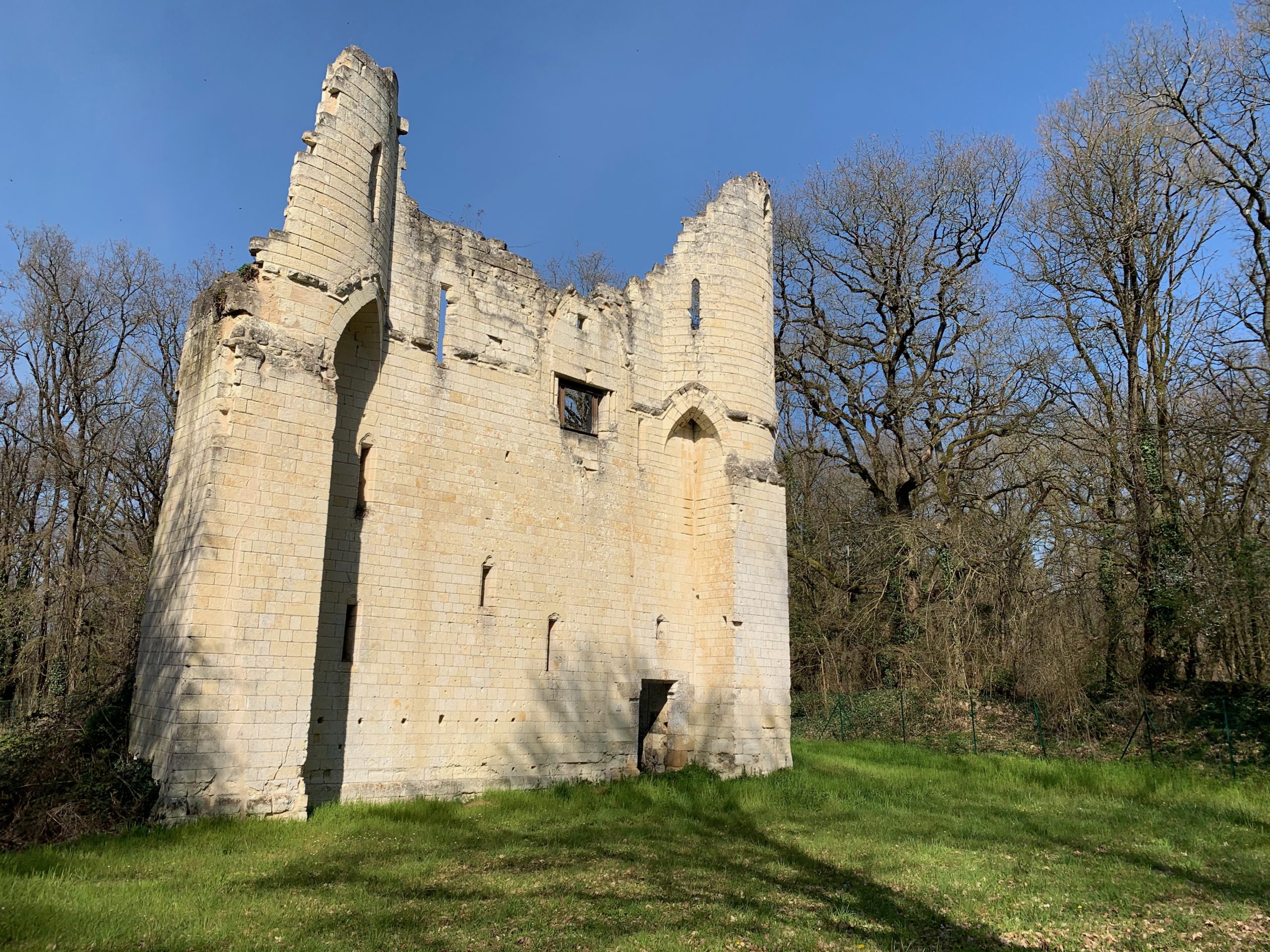
Découvrez les photos du circuit




Circuit 2
Map of the route “VTT Saumoussay”: 33,96 km, 385 m of climbing and 386 m of descent, elevation between 27 m and 98 m, time 01:59:06. It is a loop that starts and ends at 47.20013, -0.08165 (latitude, longitude).
Distance 34 km et 346 m de dénivelé